Taking Action
The Clackamas County Community Wildfire Protection Plan identifies vulnerabilites across the county and suggest actions that can be taken to mitigate those threats and enhance resilience across the county. We have categorized the recommended actions into three groups, Response, Fire Adapated Communities, and Landscape Resilience.
Fire Adapted Communities
This workgroup is helping communities across the county prepare for wildfire by hosting various public education events, providing home structure vulnerability assessments and defensible space treatments, woody debris collection events, helping plan for emergencies, and encourage the formation of Firewise Communities.
Home Owner Workshops - The Mt. Hood Corridor Partnership collaborates with the Oregon Trail School District to host spring and fall workshops so response professionals can educate residents on what they can do to prepare for wildfire. Topics include personal evacuation planning, defensible space & home hardening, and navigating insurance in high risk areas.
Science Pub - We collaborate with the Mt. Hood National Forest, Oregon State University, and the Pacific Northwest Research Station to share the latest wildfire research tailored to the local the community as they enjoy dinner or drinks.
Home Assessments - Wildfire structure vulnerability assessments evaluate the susceptibility of buildings and other structures to ignition and damage from wildfires. These assessments help identify weaknesses and inform mitigation strategies to improve a structure's ability to withstand wildfire. Key aspects include assessing the structure's immediate surroundings (ignition zone), the materials used in construction, and the potential for ember accumulation. Our partners from the Fire Districts, Oregon State Fire Marshal (OSFM), and Antfarm Youth Services provide free home assessments within Clackamas County.
Home Ignition Zone & Defensible Space Treatments - The Home Ignition Zone (HIZ) is the area surrounding a structure where wildfire mitigation efforts are most critical to prevent ignition and spread. It encompasses the building itself and a surrounding area, typically 100 feet, divided into three zones: Immediate, Intermediate, and Extended. Effective treatment of these zones, including landscaping, fuel reduction, and structural hardening, can significantly increase a home's chances of surviving a wildfire. We are leveraging grant funding from OSFM and the Higher Education Coordinating Commission to provide HIZ treatments for socially vulnerable residents who are unable to perform the work themselves.
Woody Debris Collection - With the productive growth on the west side of the Cascades, flammable vegetation can accumulate rapidly. It can be a challenge for homeowners to keep their Home Ignition Zone free of this woody debris. We provide a number of services to help residents dispose of hazardous fuel around their homes such as roadside chipper services and woody debris collection sights.
Emergency Communications - Along with having a personal evacuation plan, it is important to have a continguency communications plan in case cell coverage is lost during a disaster or and extended Public Safety Power Shutoff. We have been working with elected officials to craft legislation to improve cell tower resilience. We have also been building alternative handheld radio networks as an alternative to cell phone. The Hoodland Community Planning Organization is working to expand the Hoodland Emergency Communication Network (HECN) throughout the Mt. Hood Highway corridor by installing radio repeaters, providing regular training, and routinely testing the network.
Firewise Communities - We encourage and assist neighborhoods that wish to become Firewise Communities by helping them get organize, provide a community wildfire risk assessment, and help them seek grant funding for HIZ treatments.
Landscape Resiliency
This workgroup uses the Mt. Hood forest Health & Fire-Resilient Communities Fire Modeling to identify potential Landscape Restoration Projects. This includes not only implementing prescribed burns and forest thinning to reduce fuel buildup and prevent catastrophic wildfires, protecting and restoring riparian areas and watersheds to ensure clean water supplies. One example is using wood chips from hazard fuels mitigation projects to aid soil recovery in severely burned areas from the 2020 Riverside fire.
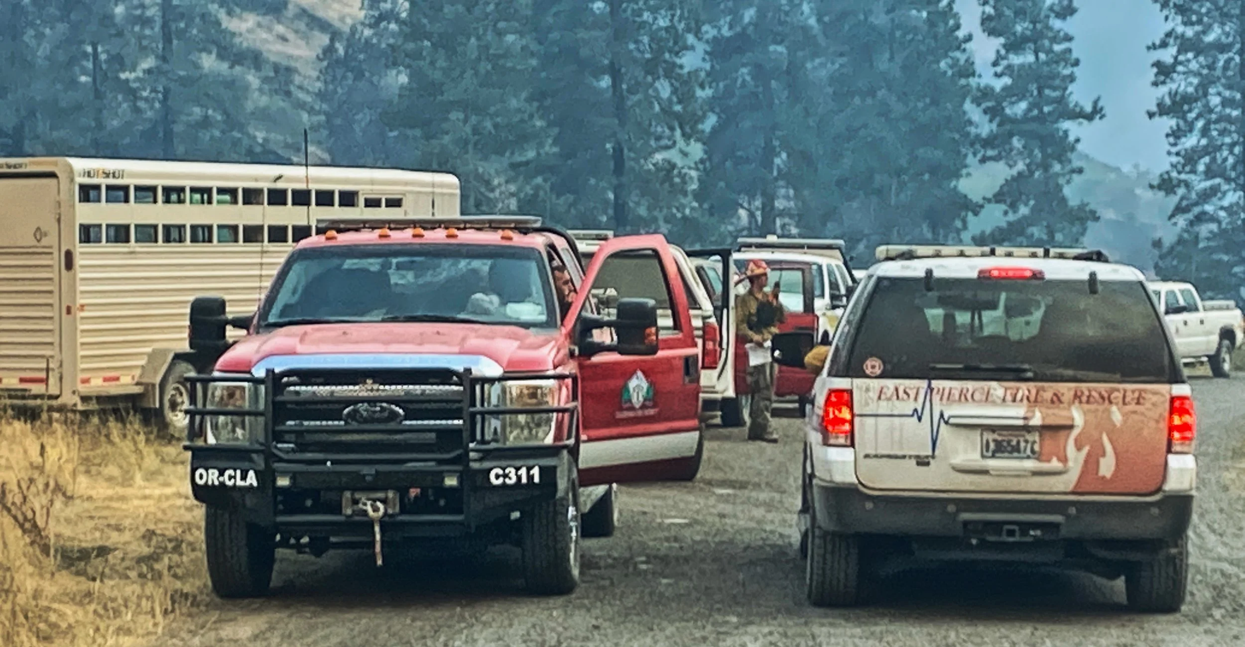
Response
The Clackamas County Fire Defense Board works continuously to improve the safety and effectiveness of wildfire response.They do this through improvements in early ignition detection, tracking structure vulnerability, advanced training in wildland tactics, increasing the number of wildland engines acquisitions, and enhanced evacuation planning.
Early Detection - Portland General Electric (PGE) is partnering with Pano AI to enhance wildfire safety through early detection and rapid response. PGE has installed Pano AI's advanced 360-degree, AI-enabled cameras in high-fire-risk areas across their service territory. These cameras use deep learning AI and computer vision to automatically detect and verify wildfire events in real-time by spotting smoke. In case of a detected wildfire, the system can provide triangulated coordinates within minutes, allowing for rapid response. Pano AI's technology has a high accuracy rate, identifying fires with 90% or higher accuracy.
Enhanced Response Capacity - Since 2020 the county has seen a large increase in wildland fire apparatus. Clackamas Fire alone when from 7 brush engines to 19. They have also developed a 20 person wildland handcrew which has gained Type 2 Initial Attack status and has responded to fires from California to North Carolina to Alaska. They have even helped our neighbors on our northern border by responding to fires in Alberta and Ontario.
Advanced Training - Fire districts within the county have collaborated with Clackamas Community College to provide training in wildland fire behavior, tactics, and strategies.
Improved Mapping - Fire districts have improved geospatial tools to document fuels reduction projects, better access and egress for responders, documentation of structure vulnerabilities through home assessments, and inventory of forest defferal land to help identify areas that could benefit from fuel reduction projects.
Evacuation Planning - Clackamas County Disaster Management is actively engaged in enhancing evacuation planning for various hazards, including wildfire and other potential emergencies. They are currently in the final phase of an evacuation planning project focused on public engagement and communication. This includes refining evacuation zones and routes, and developing a public communication campaign to educate residents on preparedness and evacuation procedures.